

What You Can Actually Build on an Oceanfront Lot on Isle of Palms
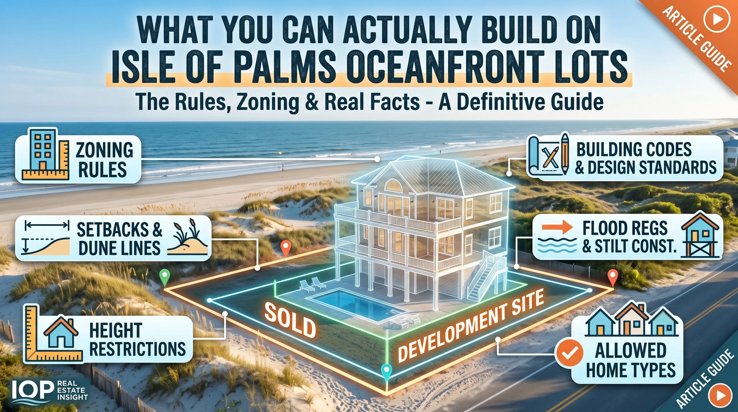
Here's a conversation I have more often than almost any other on the barrier islands. A buyer finds an oceanfront lot — or an oceanfront cottage that's clearly a teardown — and the numbers look workable. Land at $3 million, build cost in the mid-sevens, comps supporting the exit. They send it to me and ask what I think.
My first question is never about price. It's this: where is the house going to sit relative to the state's baseline?
Because on Isle of Palms and Sullivan's Island, the lot line on the plat is not the line that governs your build. The State of South Carolina draws two more lines across oceanfront property — the baseline and the setback line — and those two lines decide whether you're building a 6,000-square-foot house, a 3,200-square-foot house, or nothing at all. They are not on the tax map. They move. And they are being redrawn right now under the state's 2024–2027 review cycle.
I've watched buyers close on oceanfront dirt without ever pulling the jurisdictional line report for their block. Sometimes it works out fine. Sometimes they discover their buildable footprint is half of what they underwrote. This is the piece of coastal due diligence most people skip, and it's the one that costs the most when it's wrong.
The Market Backdrop: Why Oceanfront Lot Math Is Tighter in 2026
Two things are squeezing oceanfront pro formas at the same time.
First, financing. The 30-year fixed averaged 6.65% the week of August 20, 2026, down from 6.67% the prior week and the second consecutive weekly decline — but still roughly where it sat a year ago at 6.58%. Rates have stopped punishing buyers, but they haven't started helping them either. Most oceanfront buyers on Isle of Palms and Sullivan's Island aren't rate-sensitive in the traditional sense; they are, however, very sensitive to construction loan carry when a permit timeline stretches from nine months to eighteen.
Second, the broader Charleston market has loosened enough that you can no longer count on appreciation to bail out a bad site. Tri-county median sale price rose just 1.8% to $430,000 in the most recent CTAR reporting, with single-family at $460,000. Statewide inventory is up over 10% year over year. That's a normal, functional market — not one that forgives a lot you overpaid for because the buildable area came in short.
Meanwhile Isle of Palms is in the middle of a beach restoration program north of $30 million, placing roughly 2.5 million cubic yards of sand along as much as 19,200 linear feet of shoreline at the island's two ends. That project matters to your build in two ways: it signals where the state considers erosion most active, and the easements and access agreements tied to it touch a lot of oceanfront parcels.
The Two Lines That Govern Your Build
Under the South Carolina Beachfront Management Act, the Bureau of Coastal Management — now housed under the SC Department of Environmental Services (SCDES) after the 2024 reorganization away from DHEC — establishes and periodically reviews two lines on every developed oceanfront beach in the state.
The Baseline
This is the seaward line, generally set at the crest of the primary dune (or where it would be under natural conditions). Seaward of the baseline, your options collapse to a short list: wooden walkways, small wooden decks, fishing piers, normal landscaping, dune management, and a handful of other narrow uses. A habitable structure seaward of the baseline requires a special permit, which SCDES grants only under extraordinary circumstances. Do not underwrite a lot assuming you'll get one.
The Setback Line
This is the landward boundary of state beachfront jurisdiction. Its distance from the baseline is calculated as 40 times the long-term annual erosion rate for that segment of beach, with a statutory minimum of 20 feet. Between the two lines, SCDES has permitting authority over habitable structures, decks, gazebos, pools, and associated infrastructure.
That erosion-rate multiplier is the whole ballgame. On a stable stretch of Sullivan's Island where the beach has been accreting for decades, the setback may be close to the 20-foot floor and the state's jurisdiction barely touches your build. On an actively eroding segment — the north and south ends of Isle of Palms, where erosion has more than doubled since 2018 and one south-end stretch ran at over ten times the historical rate around 2022–23 — that same calculation can push the setback deep into the lot.
Two oceanfront lots a mile apart on the same island can have completely different development rights. Same zoning, same flood zone, same price per front foot. Different math.
How to Vet an Oceanfront Lot Before You're Under Contract
This is the sequence I run, and it costs almost nothing compared to what it protects.
Pull the SCDES Beachfront Jurisdictional Lines Viewer first. It's public and free. The viewer shows approximate line locations for Isle of Palms, Sullivan's Island, and every other developed SC beach. "Approximate" is the key word — treat it as a screening tool, not a survey.
Read the line report for that specific island. SCDES publishes island-by-island reports documenting the erosion rate methodology behind the lines. The Isle of Palms and Sullivan's Island reports tell you which segments are eroding and how fast, which is the single best predictor of how the next line revision will treat your parcel.
Order a survey that plots the state lines, not just the property lines. Most standard surveys don't. Ask for it explicitly. A surveyor who works the barrier islands regularly will know exactly what you mean.
Request a jurisdictional line determination from SCDES before your due diligence expires on anything with real money in it. This is the official answer, and it's worth waiting for.
Layer in the local rules on top of the state rules. Sullivan's Island's zoning, tree protection, and accreted-land provisions are considerably more restrictive than Isle of Palms'. IOP has its own height, lot coverage, and setback standards. State approval is a floor, not a ceiling.
Model your buildable envelope in three dimensions. Between the state setback, local setbacks, lot coverage caps, height limits measured from base flood elevation, and required parking underneath an elevated structure, the actual footprint is often 30–40% smaller than a buyer's first sketch.
Anyone who's gone through this knows the timeline is the hidden cost. State beachfront review runs on its own calendar, and it doesn't compress because your construction loan is drawing interest. Build the extra months into your carry before you sign, not after.
Buyer and Seller Strategy Right Now
If you're buying: make the jurisdictional determination a contingency, not a hope. In a market with inventory up double digits statewide, you have room to negotiate a due diligence period long enough to get a real answer from SCDES. Two years ago you didn't. Use it. And if the seller pushes back on a 45- or 60-day study period for an oceanfront parcel, that resistance is information.
Price the risk explicitly. A lot where the setback line consumes the rear third of the buildable area is not worth the same per front foot as a lot where state jurisdiction stops at the dune walkover. Bring that spread to the negotiation with the line report in hand — it's a factual argument, not a haggle.
If you're selling oceanfront land or a teardown: do this work before you list. A seller who hands buyers a current survey with the state lines plotted, the island line report, and a conceptual site plan showing a realistic footprint removes the single largest source of buyer hesitation on the coast. You're not just marketing a lot — you're marketing a permittable project. That's worth real money, and it shortens days on market meaningfully.
The Charleston Coastal Context
The state's current line review cycle runs 2024 through 2027 in three geographic phases. Phase I covered the Beaufort County beaches — Hilton Head, Fripp, Hunting Island and others — with proposed lines published in October 2025 and public comment closing in January 2026. Charleston County beaches fall into a later phase, which means the lines governing Isle of Palms and Sullivan's Island today are still based on the prior cycle's erosion data.
That's the part worth sitting with. Given documented erosion acceleration on both ends of Isle of Palms, there is real reason to expect the setback line to move landward on some segments when the revision lands. If you're buying an oceanfront lot in 2026 with a two- or three-year horizon to break ground, you may be permitting under a different line than the one you're looking at today.
That's not a reason to avoid oceanfront. It's a reason to buy the right oceanfront. The stable, accreting stretches — much of Sullivan's Island, the mid-island portion of Isle of Palms — carry meaningfully less regulatory risk than the erosion hot spots, and that difference is not fully priced into the market. It's also why the real permitting timeline on the barrier islands runs longer than most contractors quote, and why Sullivan's Island trades the way it does relative to its neighbors.
For investors weighing rental yield against build risk, the same site analysis feeds directly into the short-term rental math on both islands — a smaller permittable footprint means fewer bedrooms, and fewer bedrooms changes the revenue model.
Frequently Asked Questions
What is the OCRM line on Isle of Palms?
"OCRM line" is local shorthand for the state beachfront jurisdictional lines — the baseline and setback line — now administered by SCDES Bureau of Coastal Management. On oceanfront property they govern where habitable structures can go. On marsh-front property, the related "critical line" governs tidal wetland jurisdiction. They're different lines with different rules, and buyers conflate them constantly.
Can I build a house seaward of the baseline?
Only with a special permit, which SCDES issues under extraordinary circumstances and specific regulatory conditions. It is not a routine approval and should never be assumed in a pro forma.
How far back is the setback line?
It's calculated at 40 times the long-term annual erosion rate for that beach segment, with a 20-foot statutory minimum. Stable or accreting beaches sit near the minimum; actively eroding segments can be substantially deeper.
Do the beachfront lines ever move?
Yes. SCDES reviews and updates them on a recurring cycle — the current one runs 2024 to 2027 in three phases, with Charleston County scheduled after the Beaufort County beaches completed in Phase I.
Does the setback line affect pools and decks too?
Yes. Between the baseline and setback line, SCDES permits decks, gazebos, pools and associated infrastructure alongside the primary structure. Pool replacement rules also carry a "destroyed beyond repair" threshold at 66⅔% of replacement value.
Does an existing house prove the lot is buildable?
No. Many oceanfront homes on Isle of Palms and Sullivan's Island predate current jurisdictional lines and could not be rebuilt in the same footprint today. Always verify what's permittable now, not what exists.
Let's Talk About Your Charleston Project
Looking to buy, build, or invest in Charleston real estate? I'm Chris Eller, Broker Associate with The Cassina Group and a luxury real estate developer specializing in new construction and coastal properties across Charleston and the barrier islands. Call/Text: 843-343-3359 | Email: Chris@TheCassinaGroup.com | Website: ChrisEllerRealEstate.com OR IconicDevelopments.com If you're considering buying, selling, or building in Charleston or anywhere in the Lowcountry, reach out anytime for expert guidance.
